
Walk a Warner Robins Street
A sound Warner Robins street directory begins by defining the segment. Choose a named road between two cross streets, one face of a block, or a clear map extent. Then locate it on the official Warner Robins maps. The city spans Houston and Peach counties, so the same visual street can require two assessor systems. A postal line alone does not settle that issue.
The record chain moves from place to people. A parcel is one mapped unit of land. Its card can give the current owner, physical address, separate tax-mailing address, legal description, deed reference, and building facts. Those details identify roles, not a complete household.
- Confirm the segment and county with city maps and the parcel viewer. Preserve road prefixes, suffixes, unit text, and route aliases.
- Search the correct qPublic system by location address. Save the parcel number, situs, owner, mailing address, legal description, and cited deed book and page.
- Open nearby polygons in geographic order. Include vacant lots and common parcels so the sequence is not distorted.
- Use the deed reference in Cott or GSCCCA. Follow grantor and grantee names backward while matching the same land description.
- Add dated permits, lawful voter evidence, census schedules, or a verified reverse directory. Label each source by year and by what it actually proves.
Warner Robins Streets Cross Counties
The city is an incorporated place in both Houston and Peach counties. Most developed areas fall in Houston, but west-side parcels can fall in Peach. That split controls which tax assessor holds the parcel, which Superior Court Clerk records its deed, and which county office can correct a record. The county seat is Perry for Houston and Fort Valley for Peach.
When a block reaches the line, finish the work in both viewers. Do not assume the road ends because the first database stops returning parcels. Record which viewer supplied each parcel and use the GDOT Warner Robins map for county context. This two-system quirk is one reason a local street directory needs an auditable map method.
Note: A Warner Robins postal label can remain outside city limits, so county and city jurisdiction must be checked separately.
Search Warner Robins Parcels
Use Houston County qPublic for Houston parcels and Peach County qPublic for Peach parcels. Both center on address, owner, parcel, and legal searches. No public-search fee is stated, and no authoritative online start year was published. Treat the displayed card as a current digest record and verify it with the assessor and deed clerk.
| Search mode | Best input | Use on a street | Important limit |
|---|---|---|---|
| Location address | House number and street | Find a known parcel | Similar road names may mix |
| Parcel number | County identifier | Reopen an exact card | Houston and Peach IDs differ |
| Owner name | Person or entity | Check another parcel | Not a street-wide method |
| Legal information | Subdivision or land lot | Bridge renamed addresses | Availability varies |
| Map | Known parcel area | Open adjacent polygons | Labels do not prove boundaries |
The Peach system warns that pre-2001 parcel and account numbers differ. Carry the deed book and page plus the legal description across that change. A new account number is not evidence of a break in ownership.
Review the Peach assessor search before starting a west-side segment.
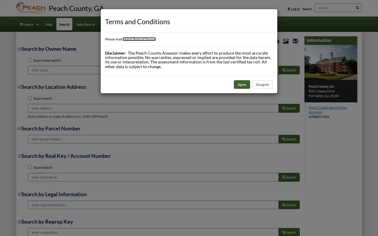
The captured portal shows why county selection comes before owner or address research on a Warner Robins street.
Read Warner Robins Address Fields
Four address keys answer different questions. A situs address is the assessor's physical location for the land or improvement. The owner mailing address is where tax mail goes and may be a post office box, office, agent, or another residence. A plat is a recorded drawing of lots, roads, dimensions, and easements. A criss-cross directory is a historical volume arranged by street and house number rather than only by surname.
- Parcel
- A county-defined unit of land with its own identifier and assessment record.
- Situs address
- The physical property location shown by the assessor, distinct from the owner's mail destination.
- Plat
- A recorded map that identifies subdivision lots, blocks, measurements, roads, and easements.
- Criss-cross directory
- A dated street-order index that may list an occupant or business at each published address.
The legal description is the durable bridge. Land district, land lot, subdivision, lot, block, acreage, or metes-and-bounds text can persist when a street name, route label, or parcel number changes. Never convert a mailing address into an occupancy claim.
Browse Warner Robins GIS Blocks
Start the map at a known civic address, zoom to parcel boundaries, and click each polygon in sequence. Follow its report link instead of copying a floating label. For a corner lot, retain both the displayed situs and the cross-street context because an older permit or directory may use the other frontage. Log the inspection date, county viewer, parcel ID, map scale, and whether “nearby” means touching, opposite, or within a stated distance.
County zoning and city zoning serve different areas. Warner Robins maps govern incorporated city questions; county maps handle unincorporated land. Neither map names all occupants. If a road segment entered the city through annexation, request the ordinance and map to learn which government held permit or code files at that time.
The Warner Robins city maps page supplies the official geographic starting point.
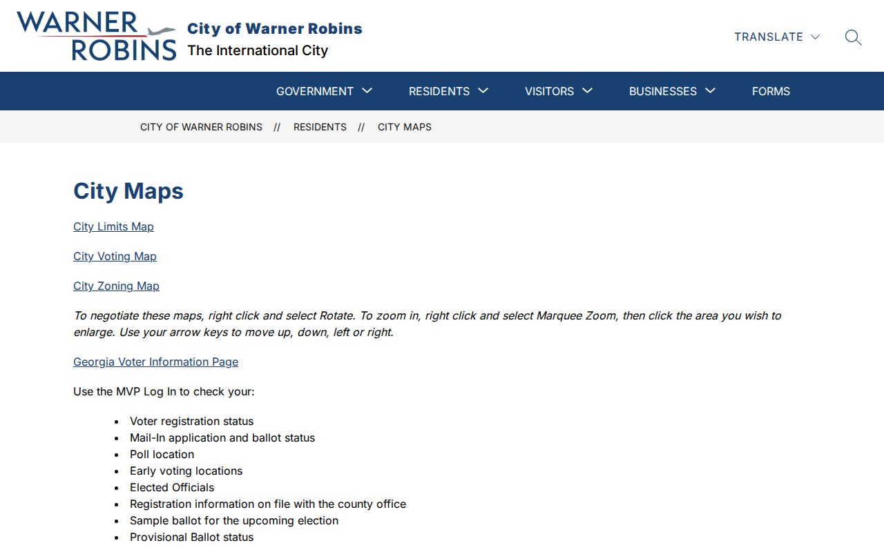
Its city-limit, voting, and zoning resources help distinguish municipal boundaries from county parcels and postal names.
Warner Robins Records by Street
No roll is a complete household list. The strongest street directory joins several dated sources and labels the role each person had. Property records name owners. Deeds name parties to recorded transfers. Permits may name applicants and contractors. A voter file, used within Georgia law, provides a dated registration indicator rather than proof of present residence.
| Address source | Custodian | Street evidence | Access route |
|---|---|---|---|
| Parcel card | Houston or Peach assessor | Owner, situs, mailing, parcel and deed link | qPublic, phone, or counter |
| GIS parcel map | County assessor/GIS | Parcel order and adjacency | Free county viewer |
| Deed or plat | Superior Court Clerk | Parties, transfer, legal description, book/page | GSCCCA/Cott or clerk counter |
| Voter data | Secretary of State and county elections | Fields Georgia law permits | Self-lookup or regulated list order |
| Permit/code file | Warner Robins | Address-specific work and named applicants | Department or open-record request |
| Reverse directory | Library or archive | Published occupant or business for one year | Verify local shelf coverage |
The parcel and legal description connect maps to deeds. The exact address and a date span make permit requests precise. Historical volumes can fill an occupancy gap, but authoritative Warner Robins reverse-directory years were not established in the research. Ask Houston County Public Libraries about actual holdings instead of assuming a run exists; the Warner Robins city directory collections are handled separately.
Follow Warner Robins Deeds
Georgia deeds are recorded by each county's Clerk of Superior Court. Begin with the book and page or instrument number on the parcel card. In the GSCCCA Real Estate Index, select Houston or Peach, retrieve the acquisition deed, and note the grantor, grantee, execution date, recording date, legal description, and prior references. Then search the seller as a grantee in an earlier period.
The index is party-driven, so it is not a simple by-address list. Same-name hits should match county, land district, land lot, subdivision, acreage, and cross-references. Images may require an account or subscription. When online coverage ends or spelling fails, call Houston Real Estate at 478-218-4720 or Peach Real Estate at 478-825-5331 extension 247 and use the counter indexes. A sale-history row alone is not a full chain of title.
Warner Robins Permits by Address
Building files can date physical change after ownership is known. Warner Robins publishes separate applications for additions, sheds, solar work, commercial buildings, and new residences. Ask for existing applications, issued permits, inspections, certificates of occupancy, and site plans by exact address, parcel, record type, and date range. An applicant or contractor is not necessarily the occupant.
If the file is not posted, use the city department or open-record channel. Georgia's records law can reach responsive existing files, but it does not require staff to create a resident roster or title narrative. County jurisdiction may control if the parcel was outside city limits when the work occurred.
See the Warner Robins permit applications to identify the right file family before making a request.
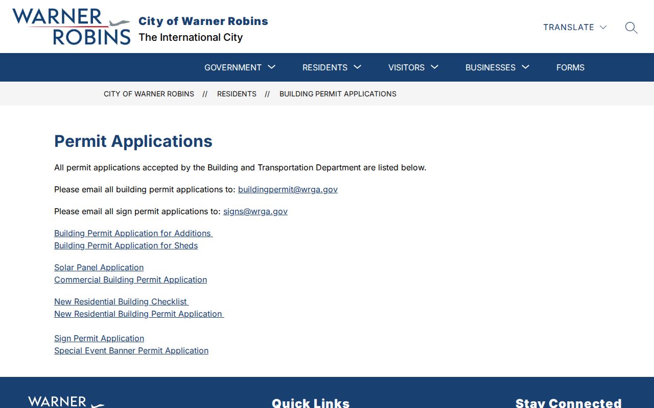
The published categories make a narrow address request more useful than asking the city for every record tied to a street.
Warner Robins Voter Street Clues
Georgia My Voter Page is meant for an individual checking a record with first initial, last name, county, and date of birth. It is not a public browse-by-street tool. The state also sells elector lists whose published fields include parsed residence street and ZIP data. The July 2024 schedule lists a Warner Robins municipal file at $65 and a Houston County file at $70, with electronic delivery estimated at about two weeks.
Georgia bars commercial use of elector lists. The public file excludes telephone numbers, full birth dates, Social Security numbers, and driver's-license numbers. Vote history never reveals ballot choices, and Georgia voters do not register by party. Safe at Home and VoteSafe can also shield addresses. Treat a listed address as a dated registration fact; absence or inactive status does not prove a move.
Warner Robins Address Changes
Warner Robins experienced annexations and detachments, and the 1960 census noted its change from town to city after 1950. A household can stay put while the census place, permit authority, or municipal label changes. Postal names add another layer. A west-side street can cross both county and postal-name boundaries without ending.
No official citywide renumbering date was found. Use the current situs, parcel and legal description, recorded plat, historical tax account, and a dated map to bridge an old address. Search annexation ordinances for the effective date. Avoid assigning a year to a rename without the ordinance or contemporary map.
Limits of Warner Robins Street Records
A Warner Robins street directory cannot establish every renter, child, roommate, visitor, or unregistered resident. Ownership is not occupancy. A homestead indicator may support owner-occupancy, but does not prove every person in the household. Utility, delivery, and motor-vehicle addresses are not substitutes for an open residents list. Protected officials and address-confidentiality participants may have fields suppressed.
Commercial neighbor tools can combine stale or mismatched data. An official parcel owner may live elsewhere, and a deed return address may belong to a lawyer or lender. Keep the role, source, and date beside each name. If a field is missing, record it as unknown or protected rather than filling the gap through speculation.
Lawful use. Use Warner Robins address records only for lawful personal research. Never use a street search to stalk, harass, intimidate, or harm anyone.