
Warner Robins Neighbor Record Map
The most defensible block lookup starts with parcel adjacency. Decide whether a neighbor means a lot sharing a side or rear line, a parcel facing the subject across the road, or every parcel within a measured radius. Each choice produces a different set. Record that choice before collecting names, then use the official parcel report rather than a floating label on the map.
| Official source | Block evidence | Access route |
|---|---|---|
| Houston qPublic GIS | Houston parcels and linked assessment reports | Free county map |
| Peach qPublic GIS | West-side parcels and linked property data | Free county map |
| Warner Robins city maps | City limits, zoning, voting geography, and local jurisdiction | Official city map page |
| Parcel cards | Owner, separate mailing and situs addresses, legal data, and values | Assessor search or map link |
| Recorded deeds | Prior owners and transfers for chosen parcels | GSCCCA, Cott, or clerk counter |
| Permit and code files | Address-specific work and cases that are open | Building Inspection or NextRequest |
| Historical directories and census | Occupants at a dated past address | Library and National Archives sources |
An owner is not automatically an occupant. A mailing address may belong to an owner elsewhere, and a homestead marker is only supporting evidence. Parcel records also omit many renters, children, roommates, and other people in a household. Use “owner” when the tax roll says owner, and reserve “resident” for a source that places the person there at a stated time.
Warner Robins Neighbor County Lines
Warner Robins spans Houston and Peach counties. A visual block near the west-side line can therefore require two qPublic systems. Start with the current Census boundary map or city map, identify the subject parcel's county, and inspect the touching polygons. If the map edge or county boundary interrupts the block, continue in the other viewer rather than assuming the next lot uses the same parcel system.
The two counties may use different identifiers and map symbols. Log the viewer, inspection date, subject parcel ID, scale, and definition of adjacency. Keep three lists: touching lots, parcels across the street, and nearby lots that do not touch. This small audit makes the result reproducible and prevents a radius from silently adding a back-to-back street or another subdivision.
County-line tip. A Warner Robins postal label can continue beyond the incorporated boundary, so county parcels and city service jurisdiction must be checked separately.
Map Warner Robins Neighbor Parcels
Use the Houston qPublic map or the Peach qPublic map based on the parcel's county. A parcel is the mapped unit of land used for assessment. The situs address is its physical location; it can differ from the owner's mailing address.
- Search the subject address or parcel number in the correct county viewer, zoom until parcel outlines are clear, and open its official report.
- Click each polygon that shares a side or rear boundary. Record the parcel number before copying any owner field.
- Pan across the right-of-way and open parcels facing the subject. Keep them separate from lots that physically touch.
- Compare situs and owner-mailing fields. Note any homestead clue without calling it proof that every owner lives there.
- Check city limits and zoning separately. If the block reaches Peach County, repeat the same method in its viewer.
Do not infer a boundary from roof placement or a road label. The polygon and linked parcel report control. For a whole named road rather than the immediate block, use the Warner Robins street directory workflow.
Read Warner Robins Neighbor Records
A parcel card may show the current owner, mailing address, situs, parcel number, legal description, subdivision and lot, acreage, values, tax district, exemptions, sale data, building facts, sketch, and map. Availability varies by parcel. Copy only fields that appear, and date the observation because assessment records change.
Ownership and occupancy can diverge for many ordinary reasons. A trust or entity can hold title. The owner may receive mail at a post office box or another property. A renter may live at the site without appearing on the parcel card. An exemption can help interpret owner occupancy, but it does not identify a whole household.
Questions about ownership display, situs, value, or map geometry go to the assessor. Houston Tax Assessors lists 478-218-4750; Peach Tax Assessors lists 478-825-5924. Recorded deed and copy questions go to the correct Superior Court Clerk, not City Hall.
Warner Robins Neighbor Voter Limits
Georgia's My Voter Page confirms one person's own registration, precinct, districts, absentee status, and sample ballot after personal inputs. It is not a browse-the-block directory. State elector files follow separate order, field, and use rules. They exclude full birth dates, Social Security numbers, driver's-license numbers, and telephone numbers, and protected addresses may be masked.
Never publish a house-by-house voter roster. Participation history, where lawfully available, does not show how anyone voted. An inactive status is also an administrative condition, not proof that a Warner Robins neighbor moved or lost eligibility. The Houston Board of Elections is the local correction and access fallback for Houston records.
The practical rule is simple: use GIS for nearby parcels and treat voter access as legally bounded individual or official-list research. One system cannot be substituted for the other.
Warner Robins Community Contacts
No authoritative citywide inventory of private homeowner or neighborhood associations, and no public member directories, was found. Do not turn a subdivision name into an assumed association. Verify a group's legal identity through Georgia corporation filings or recorded covenants, then use only the public contact channel that the group itself provides.
Planning and Zoning
Publishes public commission information and handles city planning and zoning matters. It is an office and public-body source, not a household roster.
City civic bodies
City navigation identifies Engage Warner Robins, Keep Warner Robins Beautiful, the Clergy Task Force, and Veterans Issues Board. Public officials and meetings do not reveal private membership.
Georgia corporations
Use an association's exact legal name to confirm an entity and registered public contact. A filing does not establish where each member lives.
Neighborhood Watch, congregations, clubs, and other local groups are opt-in communities, not public resident databases. Police calls may include protected victim or contact details, and membership lists remain private unless the group affirmatively publishes them.
Consult the official planning and zoning page before the captured city source below.
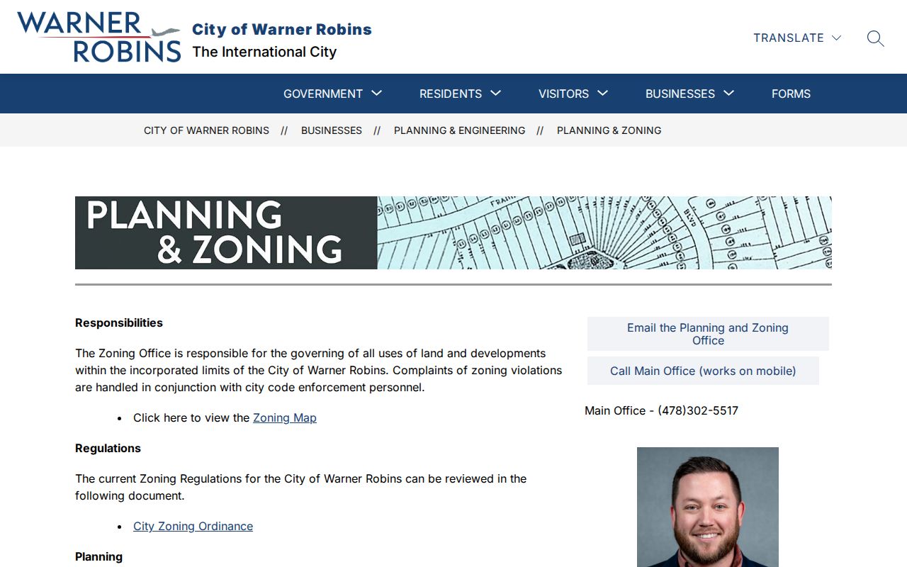
The city page helps establish public planning contacts and jurisdiction; it does not identify the private households around an address.
Warner Robins Block Record Requests
Nearby lots may answer to Warner Robins, Houston County, or Peach County offices. Check incorporated limits before seeking a permit or code file. Warner Robins publishes current permit applications but no verified address-history portal. Ask Building Inspection or use Warner Robins NextRequest for existing records.
A useful request names exact addresses or parcel IDs, the department, a narrow date span, and a record family such as issued permits, inspection results, certificates of occupancy, or closed code cases. The Georgia Open Records Act can require production of responsive existing records, subject to exemptions. It does not require staff to create a neighborhood directory or analyze a whole block.
Permit applicants and contractors are not necessarily occupants. An older permit may also belong to a county if the site had not yet been annexed. Preserve the jurisdiction and date with each result.
Compare Warner Robins Neighbor Sources
Official rolls and commercial neighbor tools answer different questions. The comparison matters because a compiled profile can merge names, treat tax mail as residence, or remain online after a move. Return every claim to its original custodian.
| Source type | Strength | Key limit |
|---|---|---|
| County GIS and parcel card | Dated public ownership and mapped parcel evidence | Does not list every occupant |
| Clerk deed index | Recorded transfers and legal descriptions | Ownership history, not a live household |
| City permit or code file | Dated work and agency action | Named applicant may not live there |
| Commercial compiled tool | May gather clues from many sources | Can be stale, merged, mislabeled, or hard to correct |
Use the category only as a lead. Do not pay an unknown caller who claims it can erase public records, and do not assume an opt-out removes a courthouse or assessor source. Correct the official record through its custodian when the source itself is wrong.
Protect Warner Robins Neighbors
Some missing addresses are safeguards, not bad data. Georgia Safe at Home can substitute a designated address in state and local public records and seal the confidential residence in voter records for eligible participants. VoteSafe protects eligible voter addresses through the county registrar. A researcher must stop at the substitute address and never try to reverse-engineer a protected home.
Georgia law also permits covered officials to remove certain personal information from online property sites. Utility accounts, delivery records, DMV addresses, private association lists, and household composition are not substitute public directories. If an official field is absent, label it unknown or protected rather than filling it with commercial data.
Lawful use. Look up Warner Robins neighbors only for civic curiosity, reconnection, block history, or personal safety. Never use these records to watch, harass, intimidate, or harm anyone.
Responsible work stays narrow. Record what a public source proves, avoid republishing a block roster, and contact the custodian when a field appears wrong. Respect for protected and private households is part of an accurate neighbor search.